


The Lagos State House of Assembly took a significant step towards modernizing land management and enhancing transparency within the state by adopting the recommendations of the Committee on Physical Planning and E-GIS on a bill to establish the Lagos Geographic Information Service (LAGIS). This bill seeks to revolutionize land administration by creating a centralized, computerized database for all land-related records, fostering efficiency, and curbing illegal land acquisitions. The adoption of this bill signifies a commitment to leveraging technology for good governance and promoting sustainable development in Lagos State. This initiative promises a transformative impact on land administration, boosting investor confidence and streamlining processes for citizens.
The legislative journey of this bill began with its deliberation on March 5, 2024, during a plenary session of the House. Recognizing the importance of stakeholder input, the House committed the bill to the Committee on Physical Planning and E-GIS for further scrutiny and a public hearing. This public hearing provided a platform for diverse voices to contribute their perspectives and shape the final version of the bill. The active involvement of stakeholders ensures that the resulting legislation is comprehensive, addresses real-world challenges, and enjoys broad public support.
The Chairman of the Committee, Ogunkelu Oluwadahunsi, underscored the bill’s significance, emphasizing its potential to revolutionize information technology and establish a robust computerized central database for land records in Lagos State. This centralized database will serve as a single source of truth for land information, streamlining access for government agencies, citizens, and investors. The integration of all geographical information service projects will eliminate data silos, enhance data accuracy, and facilitate informed decision-making in land management.
The bill’s core objectives include the integration of governance with technological advancements, prevention of illegal land acquisition, and enhancement of valuable geographic data. By harnessing the power of technology, the proposed LAGIS aims to promote transparency and accountability in land transactions, reducing opportunities for fraud and corruption. The improved access to reliable and up-to-date land information will empower citizens to make informed decisions regarding land ownership and transactions.
The establishment of the LAGIS is expected to increase spatial capabilities and drive innovations that will generate social and environmental benefits across Lagos State. Accurate and accessible land information is crucial for effective urban planning, infrastructure development, and environmental management. This initiative has the potential to unlock significant economic opportunities by streamlining land transactions and attracting investments in various sectors.
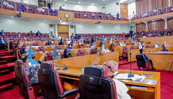
Following the comprehensive presentation of the committee’s report, the lawmakers unanimously adopted the recommendations, demonstrating a unified commitment to modernizing land administration and enhancing transparency in Lagos State. This decisive action sets the stage for the implementation of the LAGIS, paving the way for a more efficient, transparent, and secure land management system that benefits all stakeholders. The successful implementation of this bill promises to transform land administration in Lagos State, setting a benchmark for other regions to emulate.


